UN
6 Uplands
£ 180,000
Description
We don't have a Description for this property.
- Bedrooms
- 4
- Bathrooms
- 0
- Furnished
- true
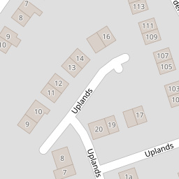
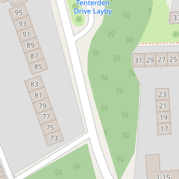

Leaflet © OpenStreetMap contributors
The heatmap indicates the level of crime in the area. The color of the heatmap indicates the crime severity and recency.
Metrics Year-on-Year
- Average area value
- 366,034.00 £Decreased by 0.63 %
- Average area rental value
- 1,286.00 £/moIncreased by 6.63 %
- Est rental Yield
- 4.22 %Increased by 7.38 %
- Crime Rate
- 15.00 %Unchanged by 0.00 %
from 368,348.00 £
from 1,206.00 £/mo
from 3.93 %
from 15.00 %
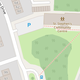
Nearby Schools
| Name | Type | Ofsted | Distance |
|---|---|---|---|
| St Stephen'S Junior School | Academy Converter | Good | 0.41 KM |
| St Stephen'S Infant School | Academy Converter | 0.49 KM | |
| The Archbishop'S School | Foundation School | Requires improvement | 0.84 KM |
| Riverside Children'S Centre (Canterbury) | Children's Centre | 1.14 KM | |
| University Of Kent | Higher Education Institutions | Good | 1.21 KM |
Images
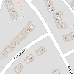
Nearby Streets
| Name | Average Price | Average Sqft | Distance |
|---|---|---|---|
| Malthouse Road | £ 0 | 0 | 0.00 KM |
| The Spires | £ 0 | 0 | 0.00 KM |
| Riverside | £ 121,250 | 0 | 0.00 KM |
| The Causeway | £ 97,375 | 0 | 0.00 KM |
| Duck Lane | £ 90,000 | 0 | 0.00 KM |
Nearby Transport
| Name | NLC | TLC | Distance |
|---|---|---|---|
| Canterbury West | 5007 | CBW | 1.44 KM |
| Canterbury East | 5164 | CBE | 2.46 KM |
| Sturry | 5029 | STU | 4.55 KM |
| Bekesbourne | 5198 | BKS | 7.20 KM |
| Chestfield And Swalecliffe | 5200 | CSW | 7.37 KM |
Nearby Listings
| Address | Price | Type | Score | Distance |
|---|---|---|---|---|
| Crossways, Canterbury | £ 325,000 | BUY | Unknown | 0.09 KM |
| Crossways, Canterbury | £ 365,000 | BUY | Unknown | 0.09 KM |
| Tenterden Drive, Canterbury, Kent | £ 195,000 | BUY | 5 / 10 | 0.13 KM |
| Tenterden Drive, Canterbury, Kent | £ 295,000 | BUY | 5 / 10 | 0.13 KM |
| Tenterden Drive, Canterbury, Kent | £ 295,000 | BUY | 6 / 10 | 0.13 KM |
Nearby Properties
| Address | Price | Distance |
|---|---|---|
| 4 Uplands | £ 245,000 | 0.00 KM |
| 1 Uplands | £ 149,950 | 0.00 KM |
| 13 Uplands | £ 77,500 | 0.00 KM |
| 16 Uplands | £ 265,000 | 0.00 KM |
| 3 Uplands | £ 210,000 | 0.00 KM |